Portugal fits more hiking into one small country than almost anywhere in Europe. Two volcanic archipelagos, a granite national park on the Spanish border, and 230km of protected clifftop path in the southwest. Add a pilgrim road that has pulled walkers north for a thousand years. All of it sits within a two-and-a-half-hour flight of Lisbon, and most of it stays walkable when the Alps are under snow. This guide is the map: where the best hikes in Portugal actually are, how hard they run, when to go, and what they cost in 2026. Each region gets a short briefing here and a full deep-dive guide linked from it, so you can go as deep as your boots demand.
Key Takeaways
- The most famous day hike is the PR1 ridge on Madeira: 7km of stone staircases plus a 2.8km descent, 4 to 5 hours, booked ahead. What is the most →
- The most famous multi-day route is the Fisherman's Trail. The classic 76km, 4-stage stretch from Porto Covo to Odeceixe takes 4 days. The southwest coast →
- Mainland Portugal walks best from March to May and September to November. The Azores peak from June to September, and Madeira works year-round. When to hike in →
- Trails cost money now: Madeira's waymarked routes charge €4.50 (the PR1 is €10.50), and the Paiva Walkways sell out on a daily visitor cap. Fees, waymarks and rules →
- Waymarking is good on the flagship routes, so most hikers here never hire a guide. Fees, waymarks and rules →
Is Portugal good for hiking?
Yes: Portugal packs three separate hiking worlds into one small country, from Madeira's subtropical ridges to the volcanic Azores and a mainland of Atlantic clifftops and granite wolf country. Few places in Europe let you climb a 2,351m volcano, walk a week of empty coastline and follow a medieval pilgrim road in the same trip.
The practical side holds up too. Marked trails follow one national system, and distances between trailheads are short. The food at the end of a stage costs a fraction of what it would in the Alps. You'll find shoulder seasons that behave like a northern European summer, which is exactly when the trails are quietest.
The catch is that the famous routes have started charging fees and capping numbers, so the days of turning up unannounced are ending. Book the big names, and the rest of the country still lets you wander. None of it has dented the essential looseness of walking here, where the village café doubles as an information point and the barman's weather forecast quietly outperforms the three apps you've already consulted.
Portugal's best hikes at a glance
Rankings are an argument that never ends, so here's the shortlist this guide keeps coming back to, with honest numbers from walking them.
| Trail | Where | Distance | Time | Effort |
|---|---|---|---|---|
| PR1: Arieiro to Ruivo | Madeira | 7km ridge + 2.8km descent | 4 to 5 hours | Hard |
| Fisherman's Trail (classic) | Alentejo coast | 76km in 4 stages | 4 days | Moderate |
| Seven Hanging Valleys | Algarve | 5.7km one way | 3 to 4 hours return | Moderate |
| Caldeira do Santo Cristo | São Jorge, Azores | ~10km return | 3 hours | Moderate |
| Mount Pico | Pico, Azores | summit and back | most of a day | Hard |
| Camino Português (Central) | Porto to Santiago | ~240km | 10 to 12 days | Moderate |
| Paiva Walkways | Arouca, near Porto | 8km one way | ~3 hours | Easy to moderate |
| Via Algarviana | inland Algarve | 300km in 14 stages | ~2 weeks | Moderate |
What is the most famous hike in Portugal?
The PR1 ridge walk from Pico do Arieiro to Pico Ruivo is Portugal's most famous day hike, and the Fisherman's Trail is its most famous multi-day route. Both earn the reputation instead of coasting on it.
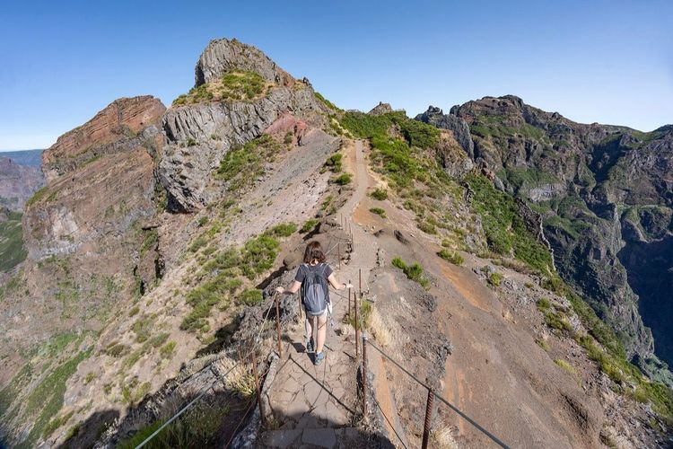
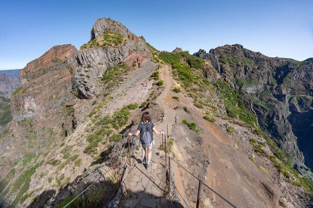
The PR1 traverse strings Madeira's three highest peaks together on staircases cut into volcanic rock, and it reopened end to end in April 2026 after the 2024 wildfire closures. As of July 2026 it runs as a booked, one-way walk on Fridays through Sundays for €10.50, which has quietly retired the old conveyor-belt crowds.
The Fisherman's Trail is the coastal branch of the Rota Vicentina network. Its four classic stages between Porto Covo and Odeceixe are the stretch people mean when they say they've walked it. Third place belongs to the Camino Português, which is less a hike than a habit that takes over your fortnight. More on that further down.
Madeira: the ridge and the levadas
Madeira is the closest thing Europe has to a tropical trekking island, and it runs on two kinds of walking. Up top, exposed ridgelines link Pico Ruivo (1,862m), Pico das Torres (1,851m) and Pico do Arieiro (1,818m) above a sea of cloud. You'll start that ridge in the dark, following a chain of head torches bobbing up the first staircase like slow fireflies. Then the sun clears the cloud sea. Argument settled. Below the peaks run the 'levadas', irrigation channels cut into the mountainsides centuries ago, whose flat maintenance paths reach valleys no road has ever touched.
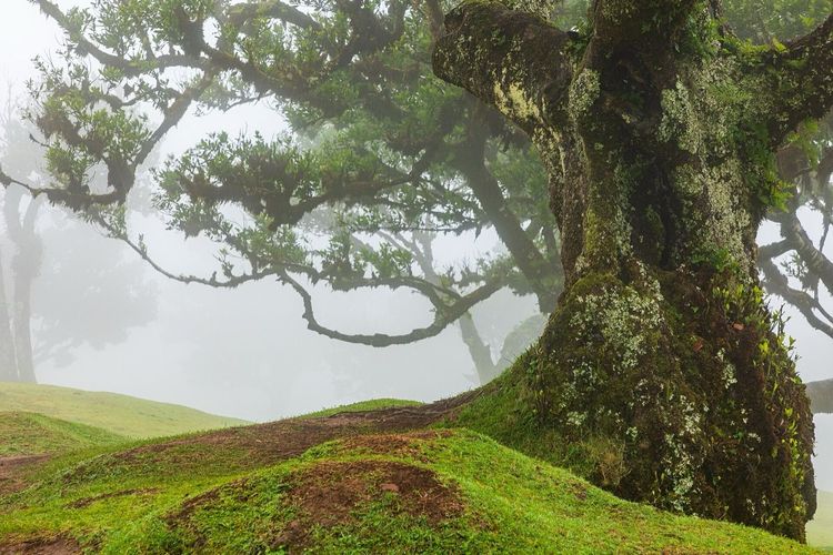
Give your trip both flavours. Take the high ridge early, then spend a recovery day on a levada under laurel trees older than most countries. Knees recover. Curiosity doesn't. The mist forest at Fanal and the bare Atlantic headland of Ponta de São Lourenço round out a week without repeating a single landscape. Fog is part of the deal at Fanal, and it's honestly the better version of the place. Since 2026 the classified trails charge €4.50 each through the SIMplifica portal, so a week of walking costs about as much as one round of drinks in Funchal.
The full picture, nine routes deep, lives in the Madeira hiking guide, with the gentler channels covered in the levada walks guide. If you'd rather have transport sorted and a local who reads the weather, there's a whole shelf of hiking tours in Madeira.
The Azores: nine islands, 600km of trails
The Azores are what happens when volcanoes learn landscaping. Around 600km of official trails spread across nine mid-Atlantic islands. They run from the twin crater lakes of Sete Cidades on São Miguel to the half-drowned caldera of Faial. São Jorge is the connoisseur's pick. Its north coast drops in cliffs to 'fajãs', flat aprons of old lava where a handful of houses grow coffee and clams, and the walk down to Caldeira do Santo Cristo covers about 10km return in 3 hours.
Then there's the big one. Pico (2,351m) is Portugal's highest mountain, a volcanic cone most people climb in the dark to reach the summit for sunrise.
Stand on top of Pico at first light and you're the highest thing in Portugal, watching the mountain's shadow lie across the ocean like a sundial. Ask anyone who has done it whether the 2am alarm was worth it, and watch them start planning a second round.
Island-hopping is simple to plan: São Miguel gives you the most trails per rental car, while Faial and Pico sit 30 minutes apart by ferry, with São Jorge completing the triangle. Boats matter more than planes once you're out there, and a missed ferry is a rearranged day rather than a disaster, which is the right spirit for the whole archipelago. Build slack into the plan. You'll use it.
Weather is the other house rule. The archipelago runs a permanent fog lottery, and a checked webcam beats any forecast. Routes, islands and tactics are in the Azores hiking guide, and the bookable options sit under hiking and climbing in the Azores.
The southwest coast: the Fisherman's Trail and the Algarve
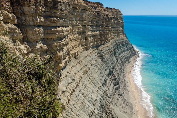
The Rota Vicentina network stitches about 750km of paths along Portugal's southwest corner, and its coastal branch is the best long seaside walk in the country. The classic Fisherman's Trail takes 4 days: 76km from Porto Covo to Odeceixe on sandy singletrack, past cliffs where storks nest on sea stacks. The full 230km run from São Torpes to Lagos takes 11 to 13 days.
Your calves will file a complaint about the soft sand by day two. Ignore them, because the coast keeps improving as you walk south. Book your beds ahead from April to October, since the villages are small and the trail isn't a secret anymore.
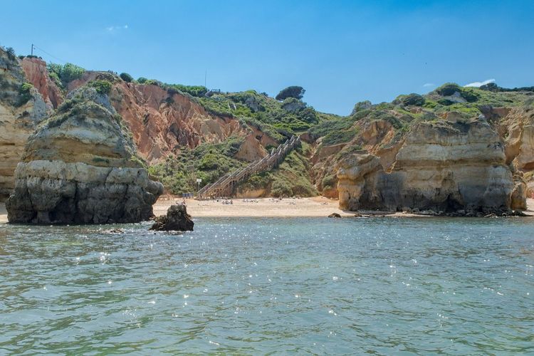
Down in the Algarve proper, the Seven Hanging Valleys Trail compresses the region's best cliff scenery into 5.7km each way between Praia da Marinha and Carvoeiro. It passes directly over the skylight of the Benagil cave. Peer down it. The tour boats below look like bath toys. It's the one walk worth fighting summer crowds for, though you'll have a better time in April or October. Inland, the Via Algarviana crosses the region's forgotten interior for 300km in 14 stages, from Alcoutim on the Spanish border to the lighthouse at Cabo de São Vicente. Walk it in spring or autumn, because the interior in August is an oven with hills.
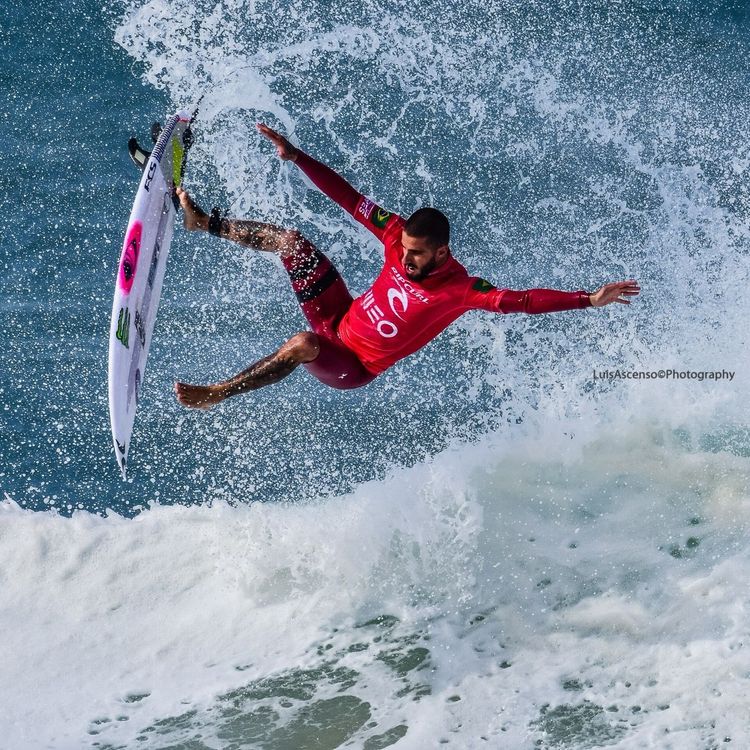
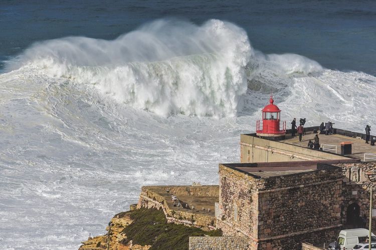
The stage-by-stage breakdown, transport logic and where to sleep are in the Fisherman's Trail guide. And if the swell looks better than the trail, this same coastline anchors the surfing in Portugal guide.
The north and centre: Gerês, the Douro and the Paiva Walkways
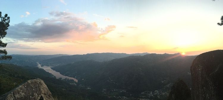
Peneda-Gerês is Portugal's only national park, ~70,000 hectares of granite domes, oak forest and drowned villages against the Spanish border since 1971. Wolves still hold territory here. You'll almost certainly never see one, and knowing they're out there sharpens every step anyway. 'Garrano' ponies graze the high moors, and villages like Soajo keep rows of 'espigueiros', stone grain stores on stilts that look like a cemetery for very small kings.
Know the quirks before you drive in: the ancient Mata de Albergaria forest road is transit-only with a ~€1.50 toll, and summer weekends close some valleys to cars entirely. Bring swimwear too, because the park hides river lagoons that fix tired legs better than any physio. The full plan, zone by zone, is in the Peneda-Gerês guide, with guided options under Gerês tours from Braga.
The Douro valley to the southeast swaps granite for terraced vineyards, and walking between wine estates is the slowest, best way to see it. Fair warning: trail signage in the Douro is thin, so pick routes mapped by an operator or walk out from a 'quinta', a wine estate. Go at harvest in September if you can, when the terraces smell of crushed grapes, and let the Douro Valley guide set the itinerary.
Closer to Porto, the Paiva Walkways run 8km of wooden boardwalk through a river gorge near Arouca. The gorge is crossed at height by the 516 Arouca footbridge, 516m of grated steel hanging 175m above the river. Daily numbers are capped, so book tickets ahead rather than gambling on the gate.
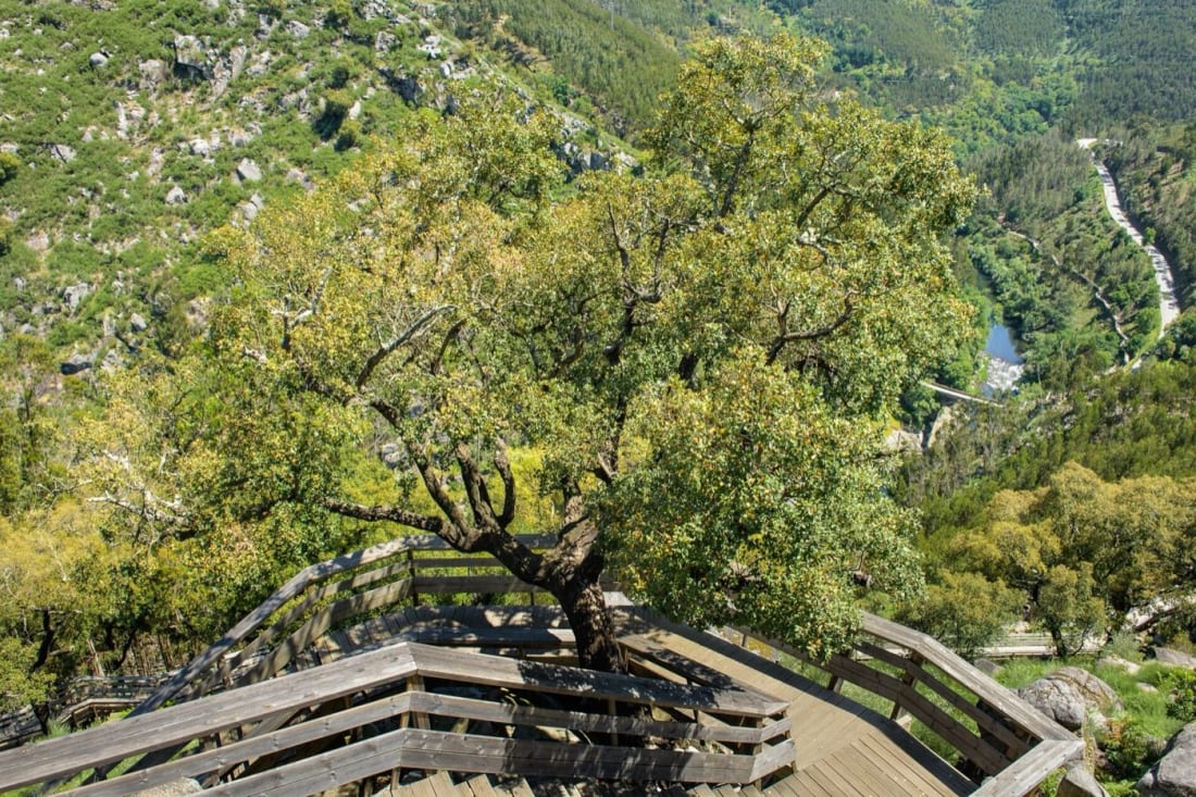
Photo: Luis Ascenso, CC BY 2.0 (Wikimedia Commons) Further south, Serra da Estrela holds the mainland's highest ground. Torre (1,993m) has a road to the summit, so the real hiking lives in the glacial valleys below it, and the schist villages above Lousã give short forest walks a café at the finish.
The Camino Português and other long-distance hiking trips
The Camino Português needs ~240km and 10 to 12 days on its Central route from Porto to Santiago de Compostela, and it's the easiest long trail in Portugal to organise. Yellow arrows do the navigation, pilgrim hostels do the accommodation, and a stamped 'credencial', the pilgrim passport, does the paperwork. The Coastal variant runs closer to 280km through Vila do Conde and Viana do Castelo before the two routes merge at Redondela in Spain. People walk it for a thousand different reasons and have done for a thousand years. There's a morning somewhere past Ponte de Lima when eucalyptus fog hangs over the cobbles, a church bell rings in a village whose name you'll never learn, and the whole thousand-year habit suddenly makes sense. By the last stage, most walkers can't fully explain why it worked, only that it did.
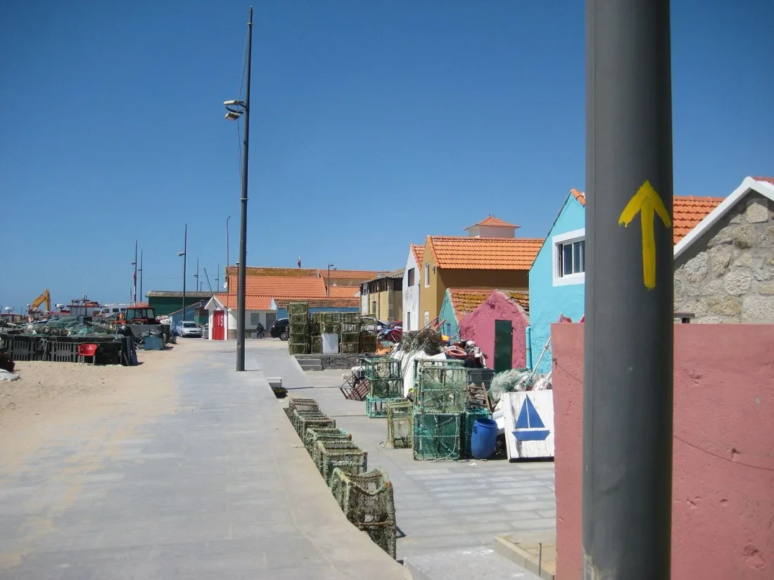
Photo: Viinikkala, CC BY-SA 4.0 (Wikimedia Commons)
It isn't the only week-plus option. The Fisherman's Trail and Via Algarviana above are both proper thru-hikes, and São Jorge in the Azores runs a grand route along its whole spine. If you want a gentler entry into multi-day walking, the Dão Ecopista rolls 50km of old railway line through central Portugal's vineyards.
Day hikes near Lisbon
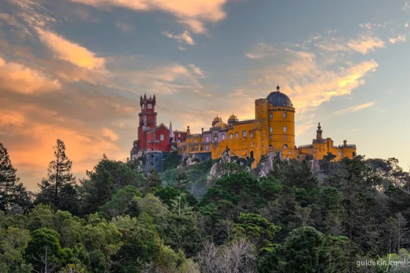
Hiking near Lisbon means the Sintra hills and the Arrábida coast, and both punch far above their size. In the Sintra-Cascais park, forest paths link the Peninha sanctuary to Cabo da Roca, the westernmost point of mainland Europe. A steep unofficial trail drops to Praia da Ursa, a beach guarded by sea stacks that looks smuggled in from Ireland. You'll share the palace crowds at the start and lose them within ten minutes of leaving the tarmac. The practical pairing of monuments and trails is covered in the Sintra day trip guide.
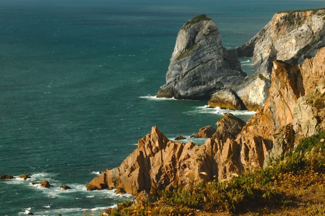
Photo: LensaCibi, CC BY-SA 4.0 (Wikimedia Commons)
South of the Tagus, Arrábida's limestone ridge falls straight into a sea doing a plausible impression of the Mediterranean, with short, sharp trails above Portinho da Arrábida. Go on a weekday. The coast road crawls on summer weekends, and your trail deserves better company than a parking queue. For a longer day you can link the ridge paths with a swim at Praia dos Galapinhos and a fish lunch back in Setúbal, which is the kind of triathlon this coast was designed for.
Planning a hiking trip around Portugal
Portugal's shape makes a multi-region walking trip easy to build. You'll fly into one of four hubs: Lisbon for Sintra, Arrábida and the southwest coast, Porto for the Camino, the Douro, Arouca and Gerês, Funchal for Madeira, and Ponta Delgada for the Azores. Domestic flights connect the islands to both mainland cities in under two hours, so a week of coast plus a week of volcano is a genuine plan rather than a fantasy.
A car helps everywhere except the linear routes. On the Fisherman's Trail and the Camino you won't want one, and luggage transfer services shuttle your bag between stages so you can walk with a daypack. In Gerês and the Douro it's the opposite: trailheads scatter far from bus lines, and taxis get scarce the deeper you go. Rent for the scattered regions, drop the car for the linear ones, and you've solved most of the logistics in one decision.
The last piece is booking rhythm: reserve the capped trails first, the PR1 and the Paiva Walkways, then your beds on the linear routes, then everything else, because spontaneity survives everywhere except where the tickets run out. That's the entire system. It fits on a napkin.
When to hike in Portugal
March to May and September to November are the mainland's honest answer. Temperatures sit between 15 and 24°C, the light is long, and the interior hasn't yet turned into a furnace or recovered from one. Summer works on the coast with early starts and a hat, but inland routes like the Via Algarviana are genuinely unsafe in an August heatwave. Winter stays mild by European standards, wetter the further north you go, and the Atlantic delivers the surf season instead. If you only get one window a year, aim it at May or October.
The islands run their own calendars. Madeira is a year-round island with microclimates instead of seasons, which is why a rained-off north coast so often means a sunny south one. The Azores are most stable from June to September, and even then the fog lottery stays open. Seasoned walkers there keep one routine: check the webcams at breakfast, pick the island's clearest corner, and be ready to swap tomorrow's summit for today's coastal path without ceremony, because stubbornness is the only thing the archipelago reliably punishes. Plan the islands around flexibility and the mainland around the shoulder months, and Portugal will hand you twelve months of hiking a year.
Fees, waymarks and rules worth knowing
Portugal marks its official paths as PR routes, short local trails blazed yellow and red, and GR routes, long-distance trails blazed red and white. Both are registered with the national walking federation, the FCMP. The signage on flagship routes is kept up well, which is why guides here are a comfort rather than a necessity.
The 2026 rulebook is short but real. Madeira's classified trails are paid (€4.50, PR1 €10.50) and booked via SIMplifica. The Paiva Walkways and the 516 bridge are ticketed with daily caps. Peneda-Gerês restricts cars in its oldest forest and on summer weekends. Wild camping is restricted across the country, so multi-day routes mean guesthouses or official sites. And check trail status pages before you commit anywhere: storms and fires close routes every year, and the closure maps update faster than most blogs.
FAQ
Is it safe to hike alone in Portugal?
Yes, solo hiking in Portugal is safe by any European measure, and the flagship trails are busy enough in season that you're rarely alone for long. The real risks are practical. Phone signal dies in the Gerês valleys and the interior, island weather turns fast, and summer heat inland is the closest thing the country has to a predator. Tell someone your route and carry water like you mean it.
How long does it take to hike the Fisherman's Trail?
The classic Fisherman's Trail takes 4 days, covering 76km from Porto Covo to Odeceixe in four stages. The full route from São Torpes to Lagos runs 230km and takes 11 to 13 days.
How long is the Seven Hanging Valleys hike?
The Seven Hanging Valleys Trail measures 5.7km one way between Praia da Marinha and Carvoeiro. Most people walk back along the same clifftops, which makes a 3 to 4 hour round trip.
How long does the Camino de Santiago take from Portugal?
From Porto, the Central route covers ~240km and takes 10 to 12 days at a standard 20 to 25km per day. The Coastal route needs closer to two weeks, and starting from Lisbon roughly doubles the distance.
Do you need a guide to hike in Portugal?
No, the waymarked PR and GR trails are built for self-guided walking, and that covers every route in this guide. The exceptions worth paying for: Pico's summit in changeable weather, canyoning anywhere, and the Douro, where the signage gives up before you do.
What is the best month for hiking in Portugal?
May is the best month for hiking in Portugal, with October a close second: the mainland is green and cool, the islands are drying out, and summer crowds haven't arrived. June to September shifts the advantage to the Azores and the high mountains.
What is the highest mountain in Portugal?
Mount Pico (2,351m) on Pico Island in the Azores is Portugal's highest mountain. The mainland's highest point is Torre in Serra da Estrela (1,993m), which you can drive to, so the ridge below it is where the actual hiking lives.
The table at the end of the trail
Every Portuguese region finishes its trails the same way, and it's the best reason to keep coming back. In Odeceixe that means grilled fish and a cold beer on a terrace above the river you just walked beside. In the Minho it's 'posta barrosã' steak and vinho verde poured generously after a Gerês loop. On Madeira, a 'poncha' at a roadside bar does more for tired legs than any stretching routine. And on Pico, the harbour cafés in Madalena serve 'lapas', grilled limpets, to hikers still blinking from the summit. Pick a region, book the trail that needs booking, and let Portugal argue its case one path at a time. It usually wins.